Cappadocia Archaelogical Green Tour (With Aşıklı Hoyuk)
10.00 / 19.00 (pick ups from 9.15 to 9.45)
Pick Up / Drop off from/to Hotels around Göreme, Uçhisar, Ortahisar, Ürgüp, Avanos, Nevşehir
Cappadocia Green Tour
When Cappadocia was described by 19th century travelers, the area that includes Göreme and other small districts, villages and towns surrounding it, was called Lunar Cappadocia and the Nigde and Aksaray regions further south, which have arable land, were included in travelers notes as Southern Cappadocia. Therefore, when we were programming these tours in the 1990s, we divided the region into two separate lines and since the tours were mostly walking in the beginning, we named the South Cappadocia tour the "Green Tour", influenced by the rich flora of the Ihlara Valley. (In fact, in the beginning, there were no touristic stops which enrich the content of our recently "Green Tour" today. People would only walk 14 km from the beginning of the Ihlara Valley and meet the vehicles next to Selime Monastery and return to the region.
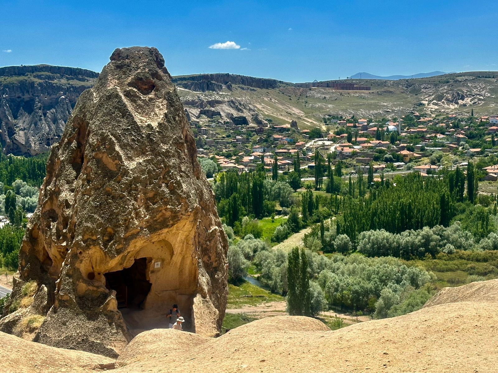
GOREME PANORAMIC VIEW POINT
The first stop in this tour is goreme Panoramic View point, located at the highest point of Goreme, from where a stunning view of the village itself, rock hotels, nearby valleys and Uchisar castle opens up. The guide will give you detailed information about the region, its geological and historical past.
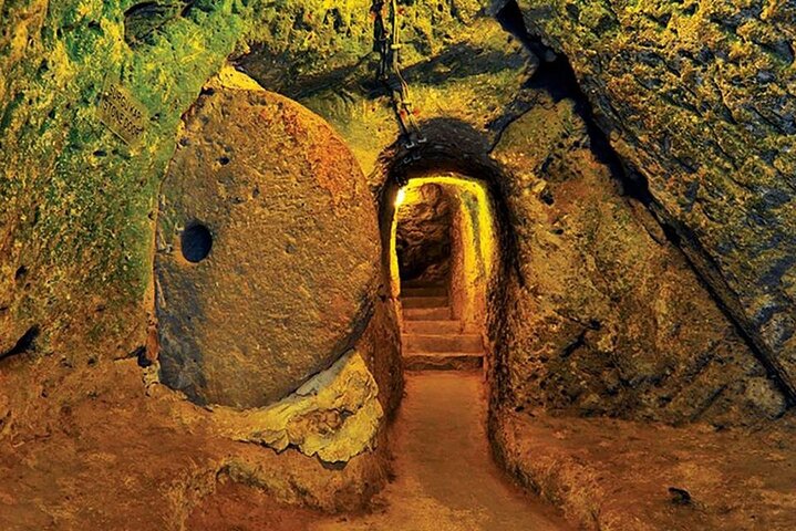
SAINT MERCURIUS UNDERGROUND CITY
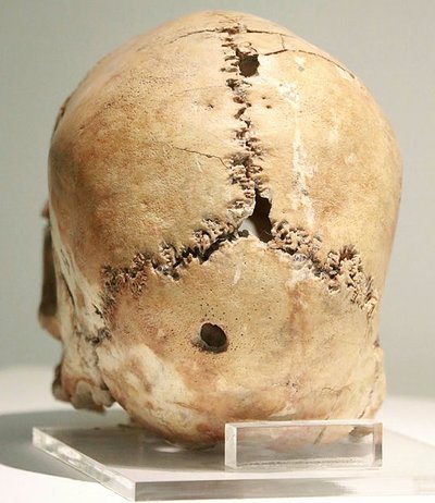
The Underground City of Saint Mercurius has seven levels. Three levels have been cleaned and opened to tourism. Entry to the underground city is through a caravanserai from the Seljuk period, known locally as "Develik," from which one proceeds through corridors and rooms to reach the various levels. While churches in underground cities are generally small, the church here resembles a cathedral. Excavations have uncovered 20 tombs in the church's floor, belonging to both children and adults.
In one of the tombs, a man and a woman are found buried one on top of the other in the same sarcophagus. Various types of cross symbols are also found within the church.
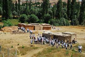
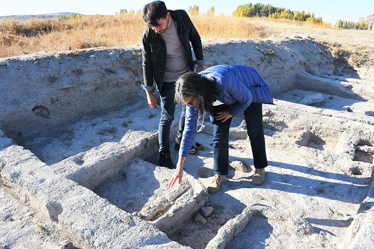
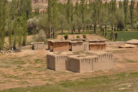
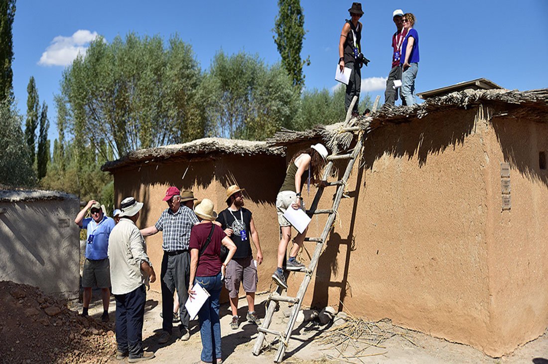
ASIKLI HOYUK (MOUND ASHIKLI)
Aşıklı Höyük, one of the two oldest known and excavated village settlements in the Central Anatolian region, is located in the south of the region, west of the area historically known as Cappadocia, within the borders of Aksaray province. Its contemporary settlement is Boncuklu Höyük in the Konya Plain to the west of the region. Both settlements were established approximately 10,400 years ago. Aşıklı Höyük, the subject of this article, is situated north of the Hasandağ and Melendiz mountains, in the middle of a geography dominated by steppe. The Melendiz-Su River, originating between the foothills of the volcanic Hasandağ and Melendiz mountains, flows north through the steppes towards Lake Tuz, disappearing before reaching the lake today. The river valley forms a micro-niche in the middle of a region covered with volcanic rocks and steppes, with its own unique climate and habitat. The river, which attracts various animal species due to the water it provides to human communities, also provides a fertile and well-watered environment for a wide variety of grasses, fruits, and berries along the valley through which it flows.
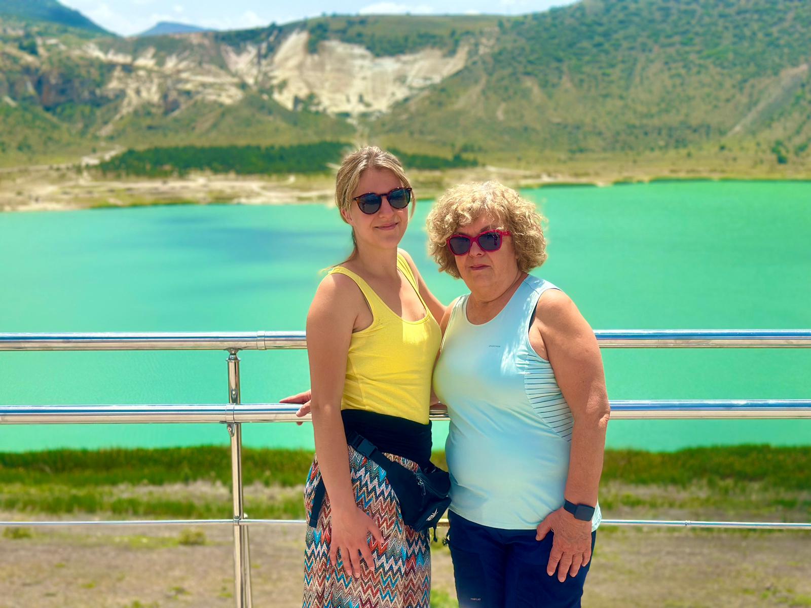
LAKE NAR (NARLIGÖL)
The turquoise star of Southern Cappadocia, "Narlı Lake" is a crater lake. The hot and cold spring waters coming out of the bottom of the lake, which is approximately 100 meters deep, indicate the existence of geothermal activity still boiling under the lake. This lake, which is also the source of hot thermal water for the thermal hotels around the lake, does not escape attention when viewed from above, and it also has the shape of a heart. Here your guide will give you desctiption about the lake and let you enjoy here Turkish Coffee or Tea with lake view.
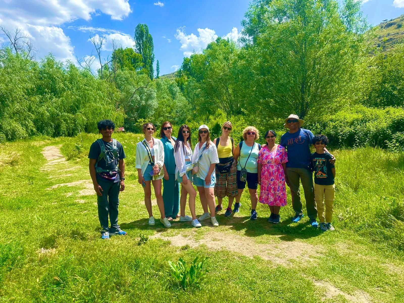
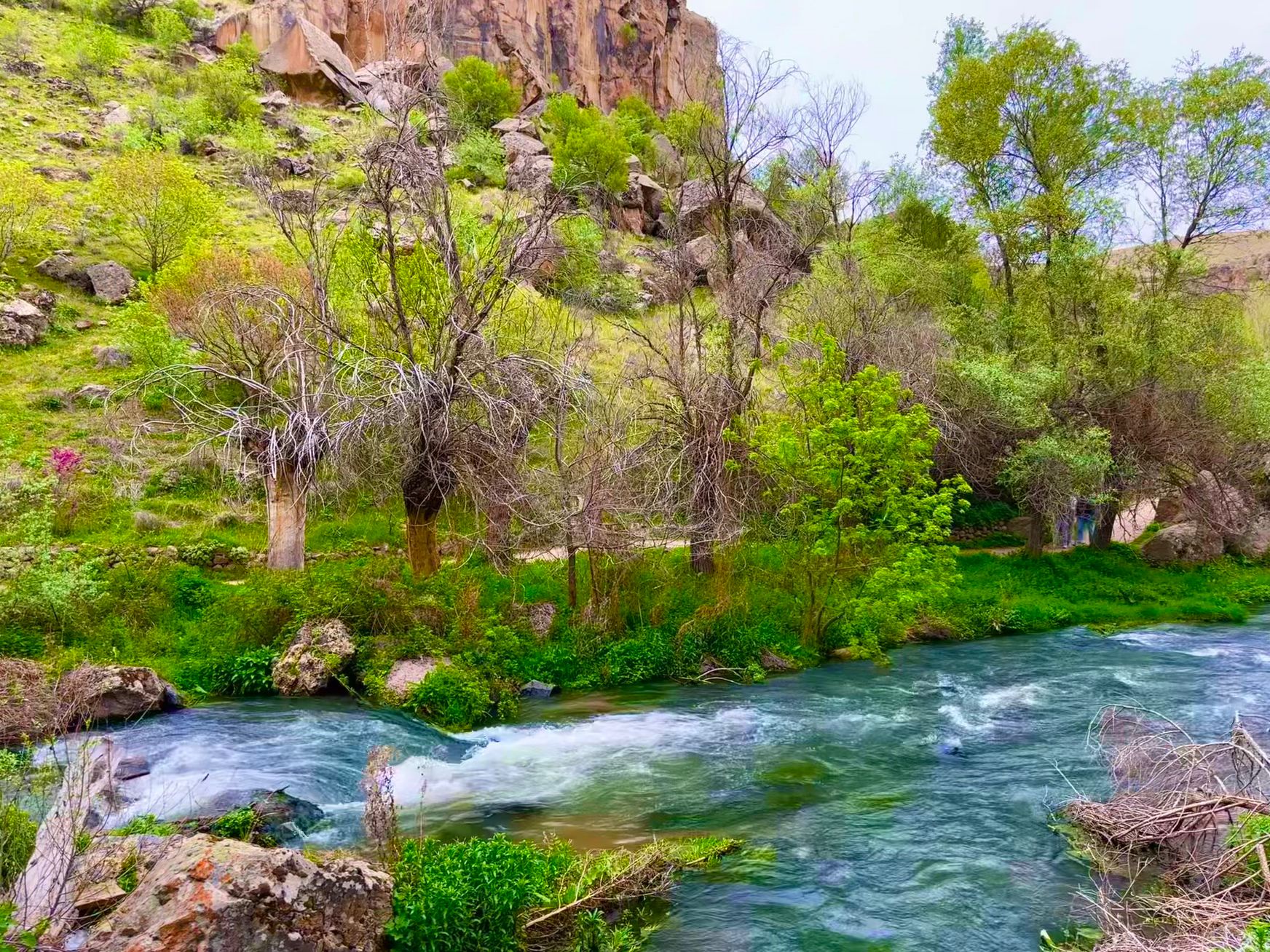
IHLARA VALLEY (CANYON)
Ihlara is a canyon that divided the plain into two "banks" like a deep ravine. Its length is about 14 kilometers, and its depth in some places is up to 150 meters. The canyon stretches from the village of Ihlara to the village of Selime. The small river Melendiz flows along the bottom. Ihlara served as a refuge for Christian monks, and therefore dozens of rock-cut churches and hundreds of residential caves were found here. The walking tour through the valley lasts 3.5 km.
LUNCH BY THE RIVER MELENDIZ
The murmur of the river, birdsong, delicious local cuisine - what you need to relax, gain strength and continue your journey!
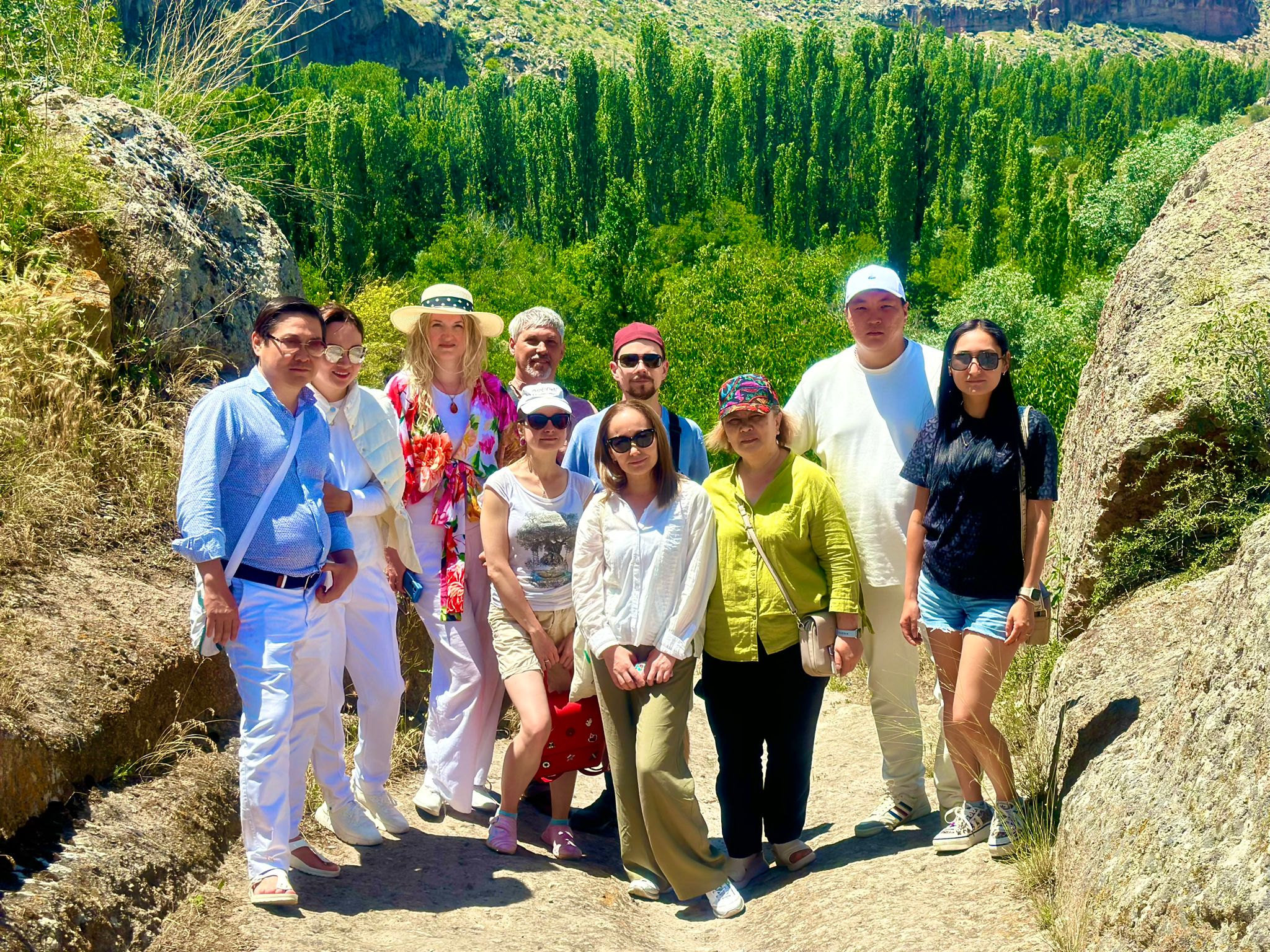
PANAROMIC YAPRAKHISAR
Selime Monastery is located on the northern edge of the Ihlara Canyon and is the highest rock-cut monastery in Cappadocia. The views from it are amazing! It is also notable for the fact that in one composition you can see all the components of the monastery. Nex to monastery other must see place is "Yaprakhisar" or So call "Star Wars Valley". after the description of your guide here you will have min. 30 minutes free time here to take amazing pictures
Tour Included
* Lunch * English, Japanes, Russian Speaking Guide * Bottle Of Water * Museum Tickets * Hotel pick up/Drop Off